
Fix:Kingdom of Asturias 814.svg

Grandia de esta previde PNG de esta fix SVG: 500 × 380 pixeles. Otra densias: 316 × 240 pixeles | 632 × 480 pixeles | 1,011 × 768 pixeles | 1,280 × 973 pixeles | 2,560 × 1,946 pixeles.
Fix orijinal (fix svg, densia: 500 × 380 pixeles, grandia: 751 KB)
Resoma


.svg)
.svg)
.svg)
.svg)
.svg)


.svg)
.svg)
.svg)


.png)
.png)


.svg)


.svg)

.svg)


.svg)
.svg)
.svg)
.svg)


.svg)
.png)


.svg)


.svg)
.svg)


.svg)


.svg)


.png)
.svg)
.svg)
.svg)
.svg)
.svg)
.svg)
.svg)
_cropped.svg)
.svg)
.svg)
.svg)
.svg)
.svg)
.svg)
.svg)
.svg)
.svg)
.svg)
.svg)
.svg)
.svg)
.svg)
.svg)
.svg)
.svg)
.svg)
.svg)
.svg)
.svg)
.svg)
.svg)
.svg)
.svg)
.svg)
.svg)
.svg)
.svg)
.svg)
.svg)
.svg)
.svg)
.svg)
.svg)
.svg)
.svg)
.svg)
.svg)
.svg)
.svg)
.svg)
.svg)
.svg)
.svg)
Lisensa
This file is licensed under the Creative Commons Attribution-Share Alike 4.0 International license.
- Tu es libre:
- per comparti – per copia, distribui e transmete la obra
- per remisca – per ajusta la obra
- Su la constrinjes seguente:
- atribui – Tu debe atribui la obra en la modo spesifada par la autor o lisensor (ma no en cualce modo cual sujesta ce el aproba tu o tua usa de la obra).
- share alike – Si tu altera, muta o developa plu esta obra, tu pote distribui la obra resultante sola su la mesma lisensa o un simil a esta.
Istoria de fix
Clica un data/ora per vide la fix en sua forma de alora.
| Data/Ora | Imajeta | Mesuras | Usor | Comenta | |
|---|---|---|---|---|---|
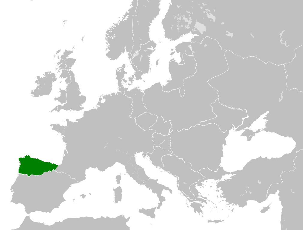
| aora | 18:07, 25 maio 2016 | | 500 × 380 (751 KB) | Alphathon | == {{int:filedesc}} == {{Inkscape}} {{Information |Description={{en|A map of the en:Kingdom of Asturias within Europe circa 814 CE.}} |Source= {{Derived from|Blank_map_of_Europe.svg|display=50}} '''Data source:''' http://www.lib.utexas.edu/... |
Usas de fix
La paje seguente lia a esta fix:
Usa global de fix
La otra vicis seguente usa esta fix:
- Usa en ar.wikipedia.org
- Usa en azb.wikipedia.org
- Usa en cs.wikipedia.org
- Usa en da.wikipedia.org
- Usa en en.wikipedia.org
- Usa en es.wikipedia.org
- Usa en fi.wikipedia.org
- Usa en he.wikipedia.org
- Usa en id.wikipedia.org
- Usa en it.wikipedia.org
- Usa en ja.wikipedia.org
- Usa en ko.wikipedia.org
- Usa en lv.wikipedia.org
- Usa en mt.wikipedia.org
- Usa en pl.wikipedia.org
- Usa en pt.wikipedia.org
- Usa en ru.wikipedia.org
- Usa en simple.wikipedia.org
- Usa en th.wikipedia.org
- Usa en uk.wikipedia.org
- Usa en vi.wikipedia.org
- Usa en xmf.wikipedia.org
.png)